


Gov’t Swift Intervention Quelled Mounting Tension in High-Stakes Dispute over Mining Boundary in Bong County
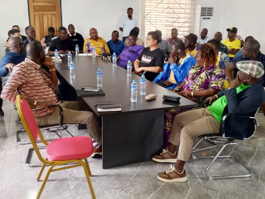
Bong County, Central Liberia: In a proactive move aimed at de-escalating what appear to be mounting tensions regarding mineral claims in Bong County, the Ministry of Mines and Energy has convened a high-level technical and stakeholder dialogue involving rival operators H&K Mining and DATANG Mining Companies.
The intervention meeting brought together Bong County legislative authorities, traditional leaders, and ordinary citizens, with the primary objective of reaching an amicable resolution to a long-standing boundary dispute threatening operational stability and community trust.
By: Abraham Sylvester Panto
The dialogue detailed UTM coordinates and geospatial maps, which were presented and dissected in a rigorous process led by the Ministry’s Mines Survey Section under the oversight of Director Alwell Aloysius Carr.
The dispute, which centered on jurisdictional overlaps within designated concession zones, has raised concerns about unregulated operations, environmental non-compliance, and potential disruption of community development benefits tied to both companies’ commitments.
The presence of Bong County Senators Prince Kermue Moye and Johnny Kpehe, Representative Marvin Cole, and Bong County Superintendent Loleyah Hawa Norris reinforced the strategic weight of the session, signaling that the issue now sits at the intersection of resource governance, community welfare, and legislative oversight. The situation demanded decisions rooted in data, legal clarity, and policy discipline rather than company narratives or political appeasement.
Maps displayed during the session illustrated areas of operational convergence, with technical teams from the ministry cross-referencing presented coordinates against the official mineral rights registry, revealing inconsistencies in site delineation and gaps in historical mapping.
While H&K and DATANG Mining Companies maintained contrasting positions on the legitimacy of their respective claims, a common understanding emerged around the necessity of a ministry-led final demarcation to eliminate ambiguity and enforce operational discipline.
This approach is said to have been backed by members of the Bong County Legislative Caucus and community representatives who demanded transparency and adherence to mineral laws.
The Mines and Energy Ministry's firm position on the matter, articulated by Assistant Minister Gbegbe, emphasized that no company, regardless of investment scale or political connection, would be permitted to operate outside the lawfully established coordinates, adding that enforcement mechanisms would be triggered if post-resolution encroachments occurred.
For her part, Superintendent Norris underscored the developmental risks posed by prolonged territorial uncertainty, noting that unresolved boundaries undermine county planning, delay infrastructure projects promised under CSR agreements, and intensify community grievances that could escalate into unrest if not addressed through official and credible channels.
To maintain neutrality ahead of the final determination, stakeholders agreed to suspend further activity in contested areas, pending the outcome of a follow-up meeting scheduled for Monday, June 2, 2025, at the ministry’s central office in Monrovia.
At said meeting, technical analyses, including satellite validation, drone mapping, and coordinate triangulation, will be used to issue a final ruling.
Citizens present, including elders and youth leaders, contributed local land knowledge and contextual insight into the historical use and community engagement records of both companies.
The contribution is meant to introduce critical non-technical dimensions as the ministry pledged to integrate into its final decision-making process to ensure the outcome reflects both legal accuracy and social legitimacy.
Technicians from the Mines Survey Section collected new GPS readings and reviewed prior coordinate submissions for both entities, noting that overlapping claims were partly due to outdated cadastral systems and unsynchronized concession updates.
The encounter marked a rare convergence of technical governance, legislative presence, and community voice in a single forum, serving as a governance model that prioritizes conflict prevention through structured consultation and real-time data verification.
Although no binding resolution was reached, the ministry’s firm procedural postures and commitment to finality on June 2 indicate a clear institutional shift from reactive settlement toward proactive enforcement in handling mining disputes, especially in regions with historical grievances and economic dependencies tied to concession operations.
As resource disputes continue to test the robustness of Liberia’s mining governance system, the ministry’s approach in this matter may become a precedent for standardized conflict resolution protocols in future cases involving multiple stakeholders, contested territories, and overlapping economic interests.
What's Your Reaction?